Find Your Way Between Peaks and Passes
Maps That Reveal the Mountain’s Shape
Compass Confidence in Thin Air

Handrails and Guardrails: Rivers, Moraines, and Ridges
Aiming Off, Boxing, and Attack Points
Whiteouts, Aspect Clues, and the Barometric Altimeter
Planning Realistic Days and Safe Decisions
Naismith, Tranter, and Real People on Real Paths
Rules of thumb are starting points, not verdicts. Naismith estimates time from distance and ascent; Tranter refines for fitness and terrain. Adjust further for scree, snow, heat, and group size. Record actual splits to calibrate judgment, making each outing a feedback loop that sharpens tomorrow’s plan.
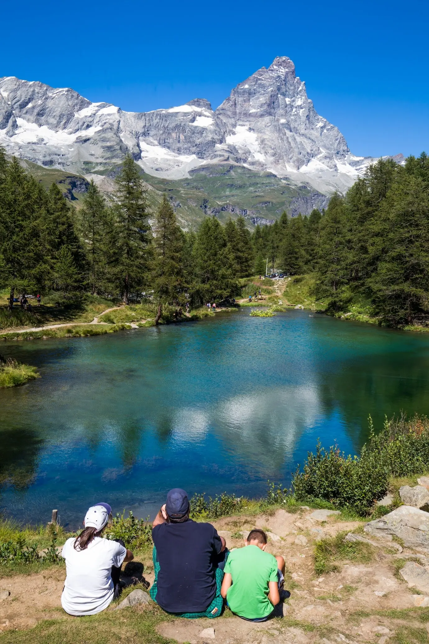
Weather Windows, Föhn Winds, and Afternoon Storms
The Alps reward early starts and humility. Watch for Föhn-driven warmth, building cumulus after midday, and sudden visibility drops. Align crux terrain with stable hours, keeping alternatives ready. A flexible route card, shared with a friend, turns changing forecasts into confident, reversible choices rather than brittle commitments.
Communication, Huts, and Leaving a Clear Plan
Analog navigation thrives on redundancy. Tell a trusted person your intended line, huts, and turnaround time. Sign hut books, ask wardens about snow bridges and rockfall, and carry a whistle. If electronics fail, these simple habits keep rescuers efficient and your party oriented during stressful moments.
Seasonal Tactics: Rock, Snow, and Glacier
Summer Clarity: Scree, Slabs, and Heat
High sun reveals textures. Scree fans suggest eroding gullies, polished slabs hint at water flows, and dry grass lines mark windy ribs. Plan shade breaks near water, time ascents to cooler hours, and use reflective landmarks wisely so glare, haze, and dehydration never bargain away focus.
Winter Discipline: White Carpet, Few Clues
Winter rewards patient process. Set short, verifiable legs; pace accurately; and lean on altimeter checks at every small rise. Snow fills re-entrants and muffles streams, so rely on slope angle, wind crusts, and cornice patterns. Conservative spacing and clear voice commands keep groups coherent and safe.
Practice Routines That Build Unshakeable Skill
The Three-Leg Triangle Drill
Pick three features visible from a meadow—perhaps a pass, a tower, and a hut chimney. Take bearings to each, plot back-bearings, and see where lines intersect. Repeat from a second spot and compare. Discuss results with partners, celebrating tight intersections and analyzing outliers without ego.
Aiming-Off Corridor Test
Choose a stream or track with a distinct junction. Intentionally bias left, then pace to the water and turn right, timing the correction. Swap sides and repeat. By measuring predictability, you will trust the tactic when visibility shrinks and pressure rises near consequential terrain features.
Contour-Only Map Memory Walk
Cover place names and paths with sticky notes. Study just the contour shapes, then walk a short loop describing every slope change aloud. Compare impressions to the map afterward. This habit wires terrain intuition, making future relocation faster, calmer, and less dependent on distant visual cues.
All Rights Reserved.